Toze Kangri Southwest Summit
Toze Kangri SW summit is at 34° 44' 17.4" N and 82° 19' 52.4" E. According to our GPS-measurements the peak is 6368 m high (plus/minus 5 m on a Magellan Explorer und einem Garmin GPS 60). Base camp was in a gravel river bed at the end of the long west reaching glacier arm at an altitude of 5340 m.
On October 4th 2007, two team members summited on Toze Kangri SW, leaving a Chiruhorn on the top.
 View
from SW-summit to NE-ridge.
View
from SW-summit to NE-ridge.
Ascent to Toze Kangri SW-summit is technically not difficult. From base camp we had to cover a one-way distance of 8 km and approximately 1000 vertical meters. It was very easy to circumvent the crevasse region at the end of the glacier by ascending on the morain up to an altitude of 5600 m. Long walks on soft snow across the glacier are very time and energy demanding, and SW ridge is extremely exposed to high winds. Some parts of SW ridge are corniced, but these are rather easy to avoid.
Ascent of Toze Kangri SW was done in a 12-hour day trip from base camp.
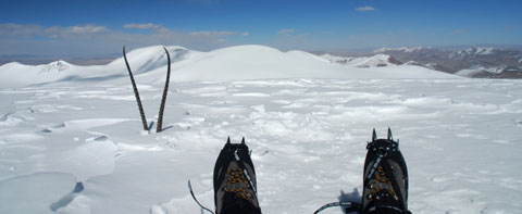
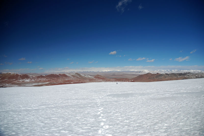 A long walk over the glacier. |
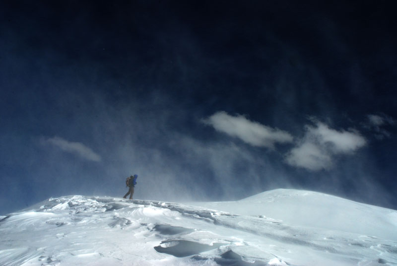
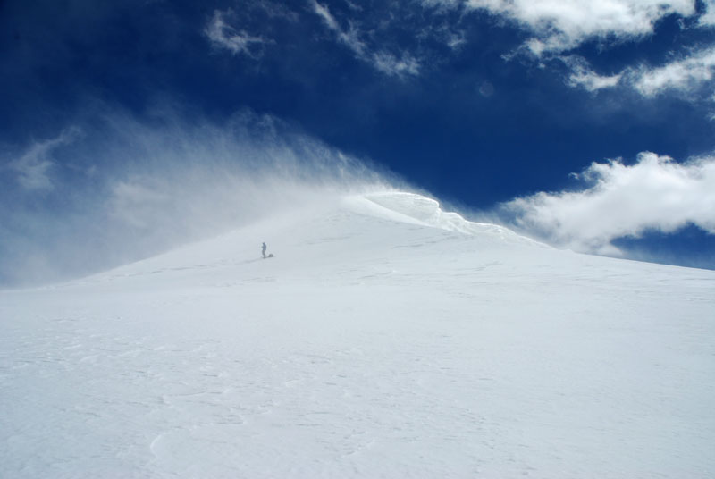 Strong winds on SW ridge. |
 Few meters to SW-summt . |
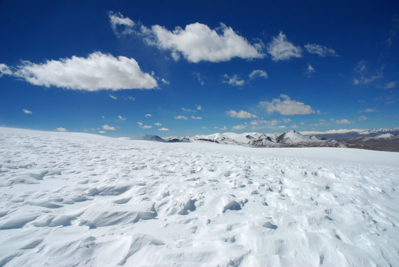 Snow formed and pressed by wind. |
 Shadows get longer in the evening during descent. |
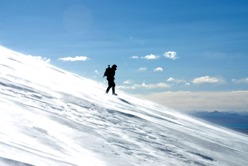 Descent from SW summit over wind-pressed snow. |
Toze Kangri Info
Map
Small section of a map for orientation. more…
The Glacier
Every glacier has its special character. more…
Ascent to SW-Summit
SW summit is 6369 m high according to our measurements. more…
Ascent to NE-Summit
NE summit is 6371 m high according to our measurements. more…
Toze Pyramid
A smaller peak south of the main Toze Kangri massif with interesting geology. more…