First ascent of Tagchagpuri
On October 14th 2007 conditions for a climb were optimal: Sunny weather and (almost) no wind! In addition, after almost three weeks of cycling and climbing at high altitude, we were perfectly acclimated.
The summit is located at 33° 29' 9.2" N und 82° 13' 29.9" E and it is 6430 m high according to our GPS measurements (Garmin GPS 60). The summit is now decorated with a Chiruhorn and a small stone cairn.
 |
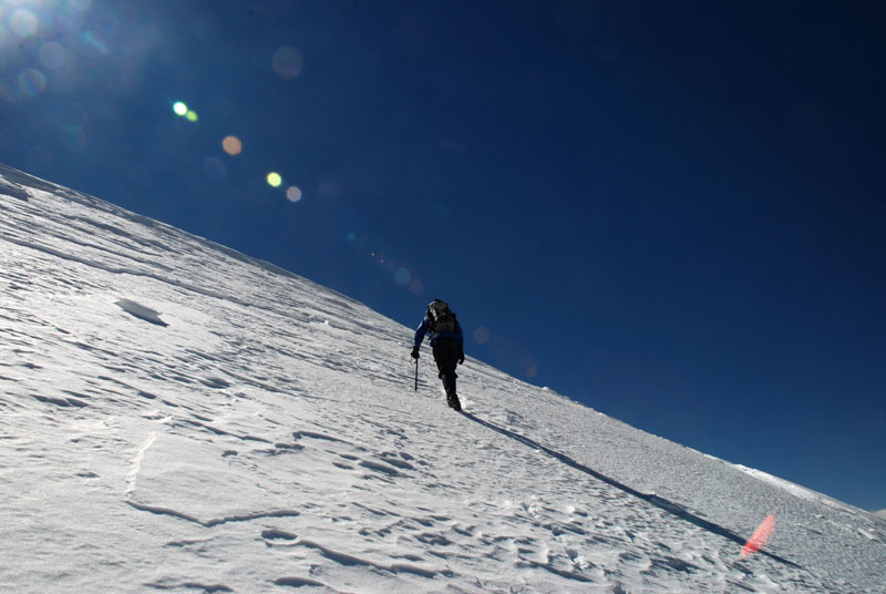
Technically the ascent starts with a hike on scree and gravel up to an altitude of about 5900 m. Then there is a distance of about 1 kilometer and 200 vertical meters on a snow-covered glacier to the beginning of a 350 m ascent of the summit pyramid. Slope of the Summitpyramid is about 45° to 50°, so that we did use crampons and ice axes.
From base camp at 5170m to the summit it was a one-way distance of 7 km and 1260 vertical meters. We achieved the ascent and return to base camp in a 10 hour day trip.
Tagchagpuri NW-face rout on SummitPost
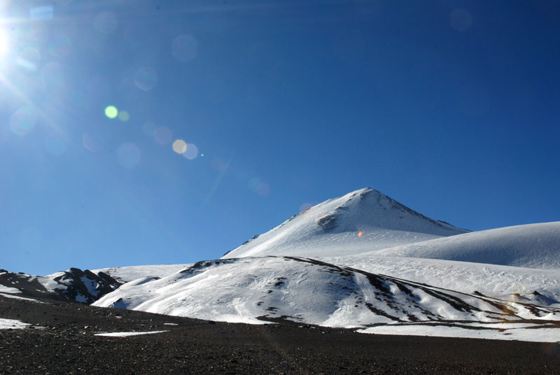 Approaching the snow field. |
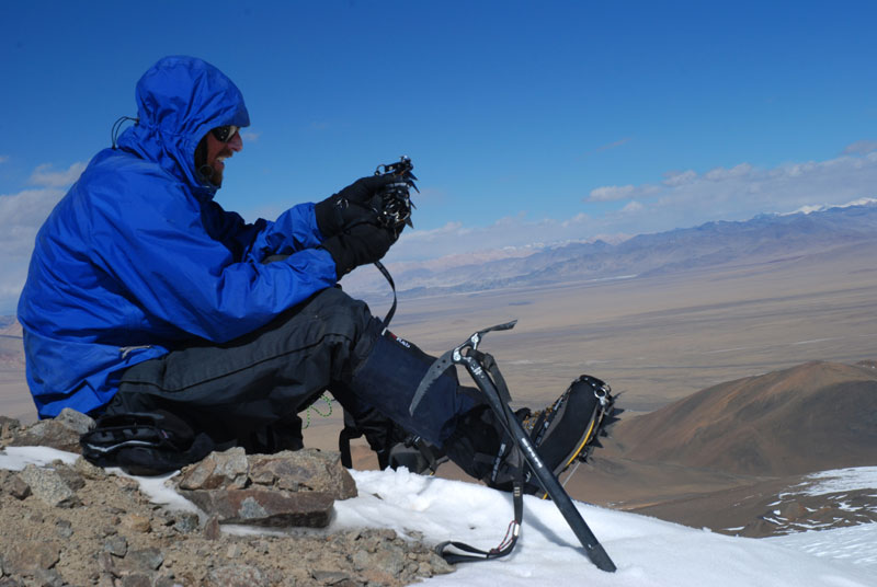 Putting on the crampons. |
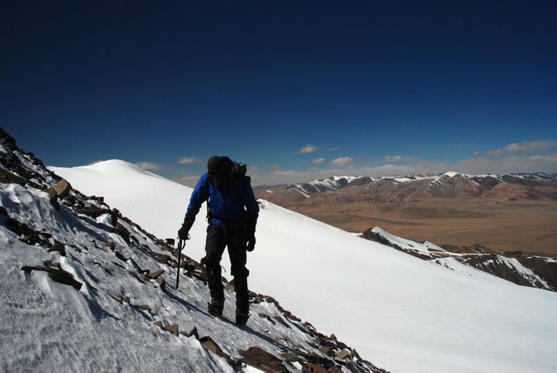 Ascent via north ridge. |
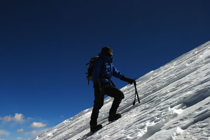 Up and up! |
 Only few meters left... |
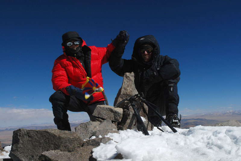 On the summit. |